Events: Rapha Rising – Up Cafferty Road
Climbed: 6,702 feet / 8,398 feet remaining
(2017) I assume the history behind tractor pull competition goes something like this: Two farmers got into an argument about who had the most powerful tractor, loaded up a wagon with weights, run after run, until one tractor’s strength prevailed. The term ‘full pull’ ensued to mean a tractor puller’s accomplishment of going the distance with the weight given. Over the years pickup trucks were added, but the name remained ‘tractor pull.’
I woke up to beautiful conditions after returning to the central offices of creakybottombracket.com, located in Bucks County, Pennsylvania. A morning errand sent me toward Upper Black Eddy by car as I wrestled with the idea of riding in the mid-day heat. To get from our offices to Upper Black Eddy, no matter how a person goes, one will have to cross Cafferty Road at some point. It is a temperamental road that originates in the hamlet of Point Pleasant, PA. Cafferty Road is eight miles of mostly uphill, complete with several steep gradients. It also has some rip-roaring descents. But I’m getting ahead of myself.
Taking this left starts the 7.9-mile climb of Cafferty Road. Continuing straight is River Road, which parrallels the Delaware River.
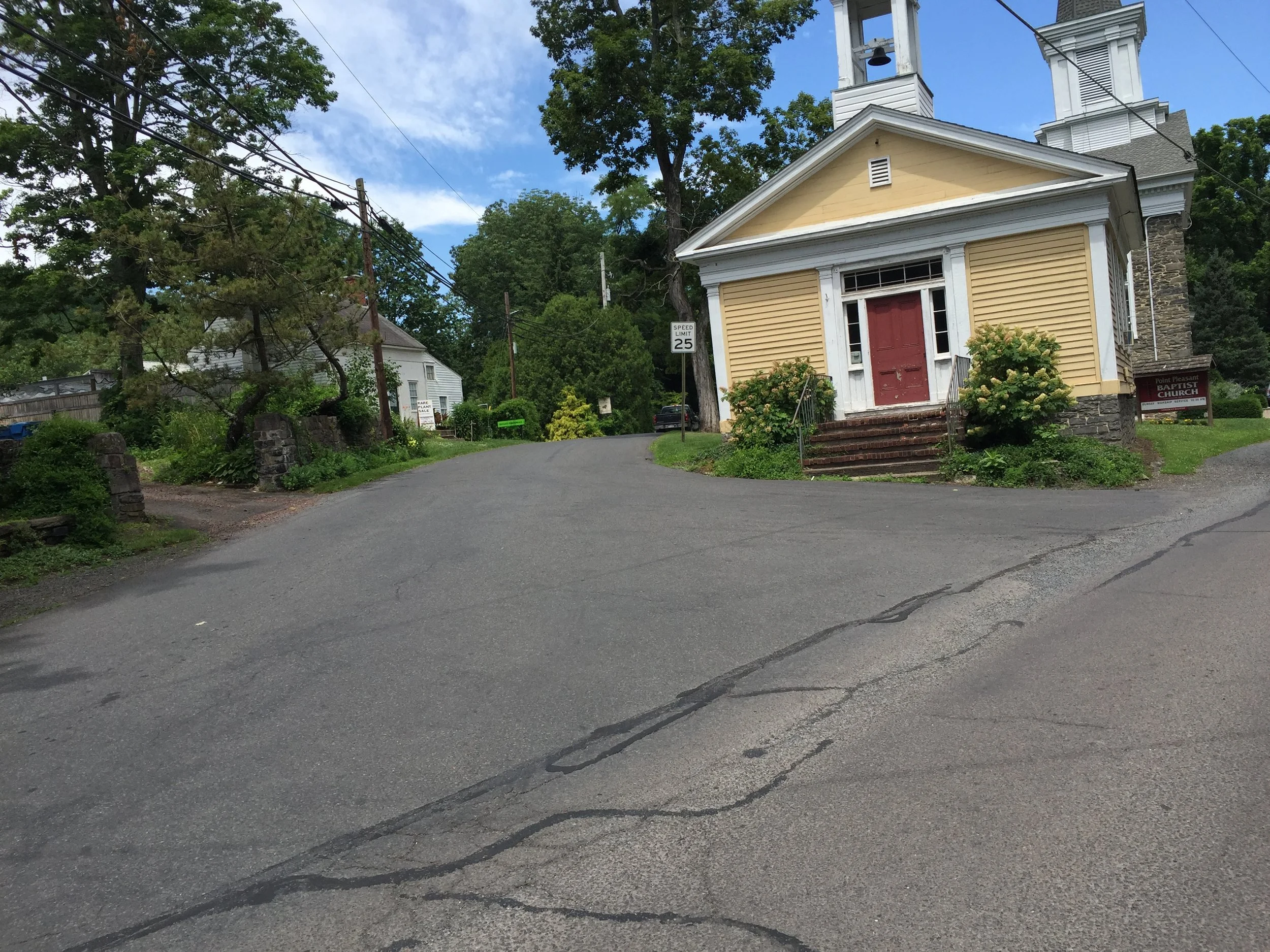
Passing a small general store and hanging a left onto the start of Cafferty Road, one grinds past the northern dwellings of the town of Point Pleasant. One lovely aspect of Cafferty Road is the shaded portion, and the initial gradients are comfortably covered. After one of the first steep ramps, an old cemetery comes into view as does the sunlight. Off to the left is a small parking area where hikers can descend directly to rock formations along the Tohickon Creek. Once the cemetery has been cleared and the woods reentered, the road levels out and a big gear is selected. Immediately coming into view is a stinging portion of a steep climb. It can be powered over, but careful management of power is recommended. There will be several more steep climbs to come.
Comfortably the road levels out here. It is still undulates upward but just barely. In the fall and winter the views off to the left are remarkable. The jutting cliffs off of the Tohickon Creek create the views. Quickly a brown park sign hangs off to the left indicating one has reached the Deer Wood Campground, located just off of the famous trails of High Rocks Vista within Ralph Stover Park. Challenging mountain bike trails course through the woods off to the left as the route progresses. It is these trails that saw me return to cycling after a long absence.
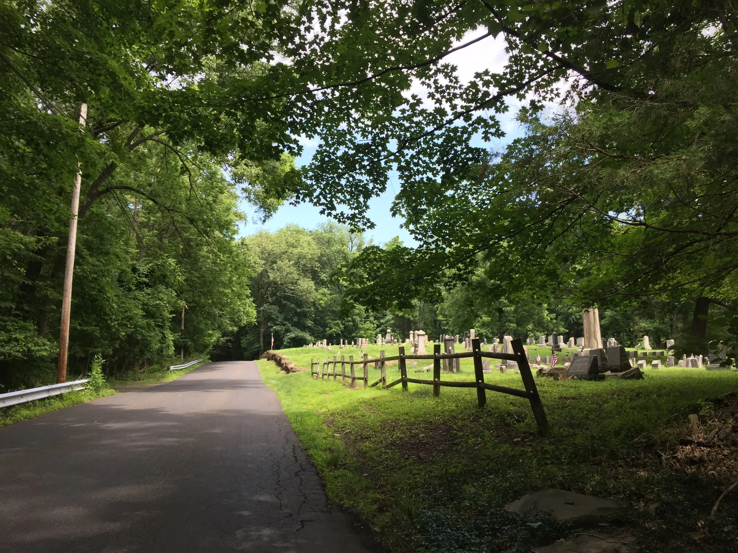
Shortly after starting the climb up Cafferty, this cemetery is observable after breaking out of the trees. It is a peaceful portion of the climb up Cafferty.
Passing the campground the road changes from incline to decline, and a long enjoyable downhill follows. Should a rider be low on water, Cafferty Road crosses Smithown Road before the next uphill. Smithtown on the left is paved; Smithtown on the right is gravel and part of the Kermesse Sport’s Fools Classic. A few meters down the unpaved section is a hut with a spigot dumping natural spring water out of its side. Use this as a means to salvage a ride. Once Smithtown has been crossed the route goes back upward, past a tennis court that, in all the years I have ridden past it, has never had anyone playing tennis on it. The route turns to the left at an intersection. Turning right only leads to a white-knuckle descent of Twin Lear Road, another section on the Fools Classic route.
A downhill comes into view as the route crosses Dark Hollow Road. Once Dark Hollow Road is crossed, the downhill becomes steeper. Toward the bottom of this steep descent, the distance of Cafferty Road is exactly halfway over. Enjoy the typical Pennsylvania steep road stop sign at the bottom. Take extra care down this section; it is quite steep and the stop sign is revealed at the lost possible moment.
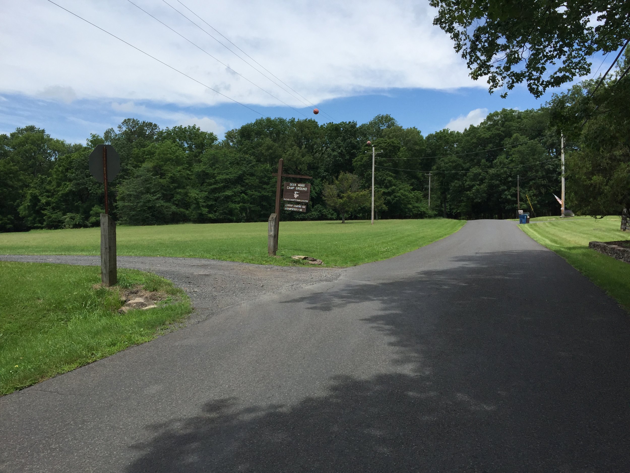
Deer Wood Camp Ground comes into view on the left. If it looks heavily populated, it's because the Boy Scouts of America use this as a campsite.
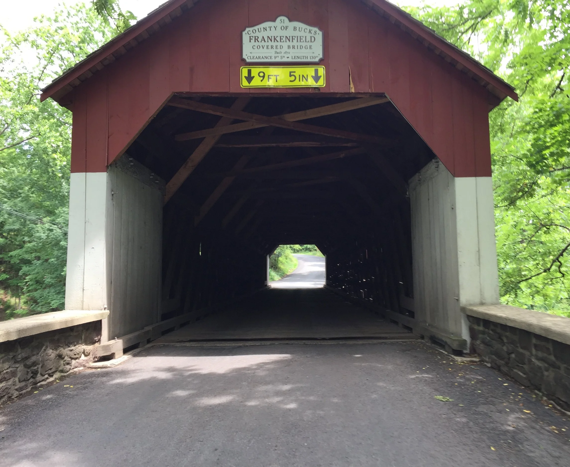
In front of the rider stands the Frankenfield Covered Bridge. To travel through this bridge is a bumpy affair. Several of the joists crossing the bridge still have knots. It is Bucks County’s version of cobblestones. Though the signs state a cyclist should walk across the bridge, the amount of vehicular traffic encourages cyclists to ride across in an effort to minimize danger. (In an effort to absolve ourselves from litigation: Please walk your bike across all covered bridges.) Before going through the bridge it is apparent the road goes back up on the other side, a point made obvious by the road going strongly upward.
The next few meters are quite challenging. Passing through the covered bridge is a churning climb to the intersection of Hollow Horn Road (a beautiful road to come back to). At the intersection the road juts upward harshly. Any rider doling out efforts will spend a few efforts on this wall. The climb between the slight left and the slight right are remarkable, though a break in the trees hint at a summiting of another ridge. Sure enough the view opens up and the grass runway of Van Sant Airport exposes itself on the right. Today a biplane sat outside its hangar.
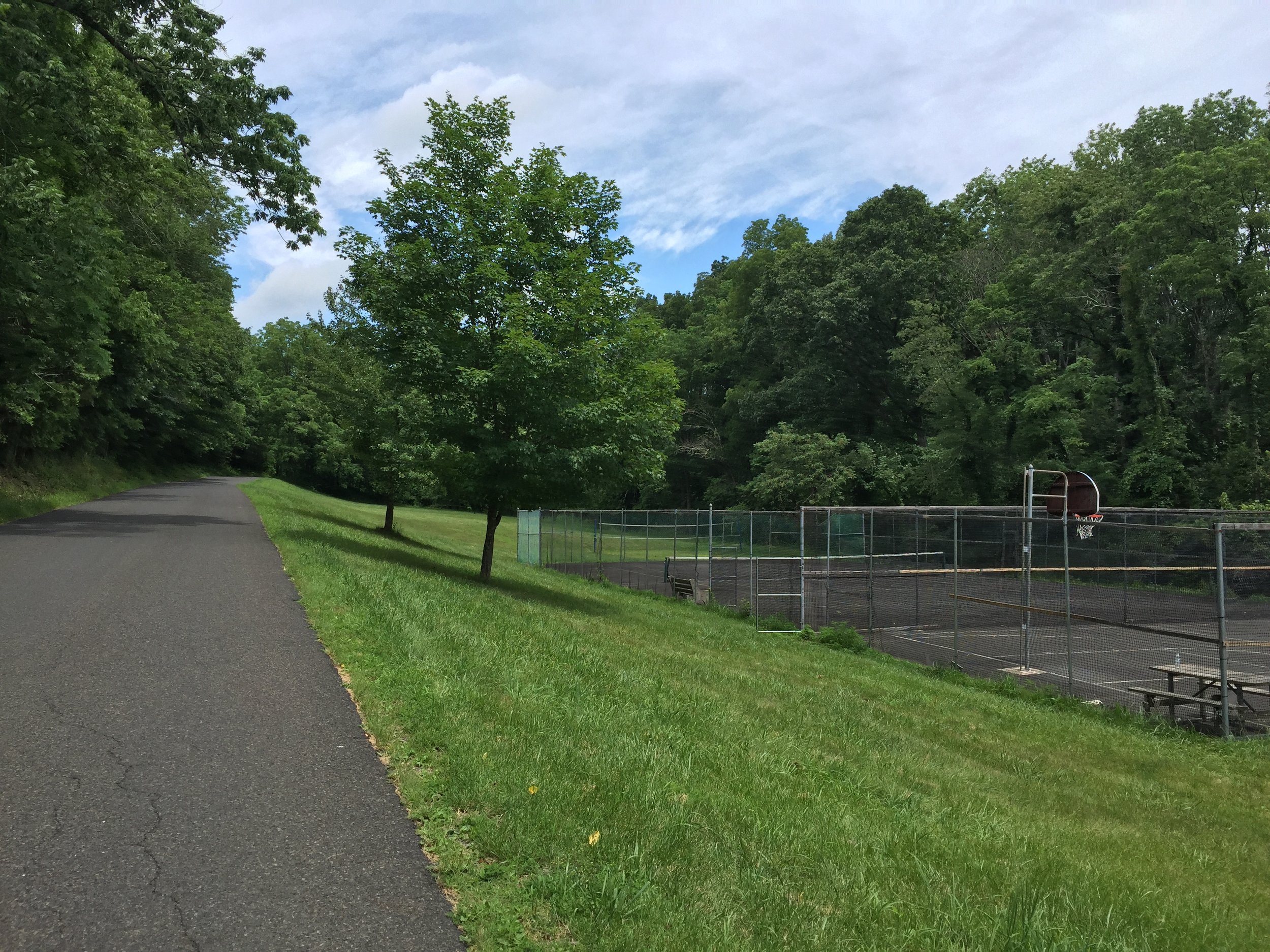
Once crossing Smithtown, this tennis and basketball court can be seen. Never has anyone been observed using any of these courts.
Here the route goes downhill, turns right on Headquarters Road, then makes a quick left at the bottom of the short decline to return back onto Cafferty. That’s something odd about Pennsylvania Roads: They can disconnect from the actual road itself only to reconnect down another road moments later. The road returns to its climbing status for the next mile with more steep walls greeting a fatigued rider. An uphill chicane makes the challenge more stinging. Once the road levels out, Rope Walk Road shows up on the right, an enjoyable descent or climb depending on the approach. Just like the last intersection, a rider must make a left onto Geigel Hill Road only to turn right at the 6.5-mile mark to access Cafferty Road once again. This is the highest point of the experience.
This is the final sector of Cafferty Road. The road has had several personalities by this point. Here the climbs are muted. The road still goes upward, yet the percentages are remarkably low. There are two downhill sections with two uphill sections. The tree coverage returns again and houses are set farther back from the road. Vehicular traffic is next to none on this portion. The effort crosses Rock Ridge Road in its final crossing before it terminates into Tammany Road.
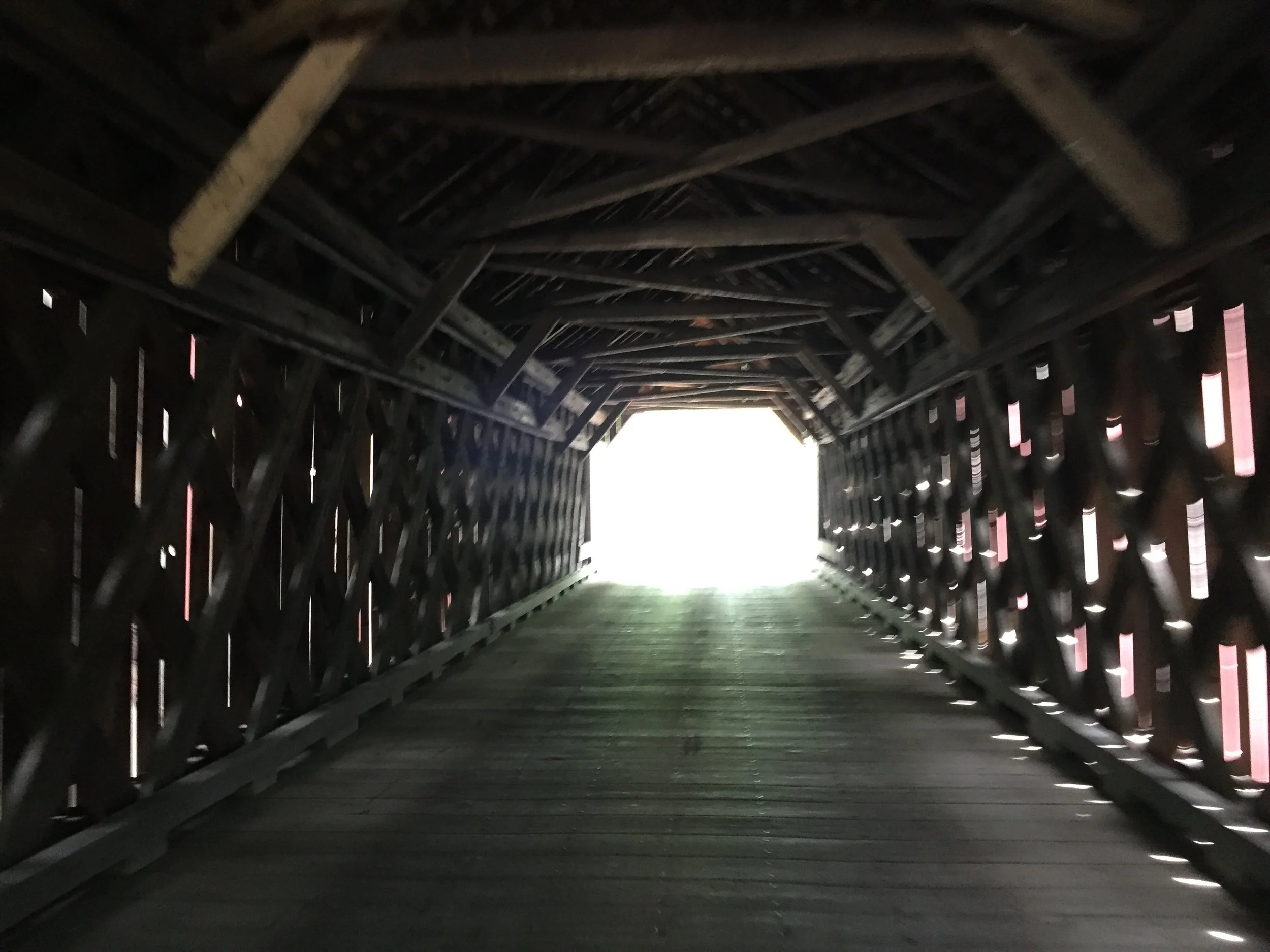
The light at the end of Frankenfield Covered Bridge reveals a climb that is every bit challanging as it looks.
The experience ends unceremoniously at a small intersection in the woods. Luckily the next turn will lead to a downhill recovery. Today the left side of Tammany Road was selected in a turn back for home. The other direction would lead quickly down to the Delaware River, giving back all the elevation earned over the last eight miles. I eyed up the interior of Bucks County instead of its boundary to cash in a few more feet of elevation. If one is looking to gain a few more feet of elevation as well as a few more miles of riding, a turn to the River to return to the start of Cafferty Road is a possibility.
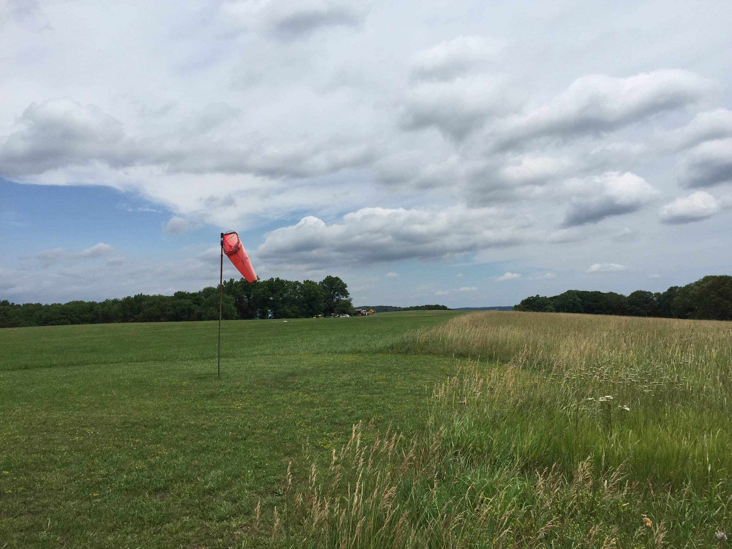
Van Sant Airport sits atop a ridge paralleling Headquarters Road. Signs warn nobody stop and hang about. Perhaps planes come in particularly low here.
Returning to the start of Cafferty Road to try it like a tractor pull would require adding more weight each time until it gets just close enough to cross the line. Doing it with another rider would be in the spirit of tractor pulls where a friendly competition of who could slog the most amount of ballast up a distance is the ultimate sign of competition. Riding up Cafferty Road in its entirety may provide riding circles with just that sort of playing field.